Our big plan is to go south to Sydney. However, so many friends and contacts at our marina have told us about how pretty the Fraser island area is, so we decided to add that to our list.
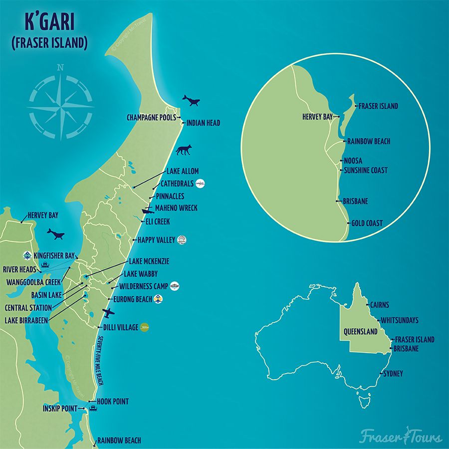
Fraser Island (Butchulla: K’gari) is a World Heritage-listed island along the south-eastern coast in the Wide Bay–Burnett region, Queensland, Australia. The island is approximately 250 kilometres (160 mi) north of the state capital, Brisbane, and is within the Fraser Coast Region local government area. The world heritage listing includes the island, its surrounding waters and parts of the nearby mainland
It’s southernmost section is 80nm away from the northern tip of Moreton island. It’s also guarded by an infamous sand bar. The Wide Bay Bar, which moves constantly causing most publications to be out of date.
If you don’t cross it, you can go around it, which would have added at least 100nm to to our trip.
Considering the inexperienced crew we opted for a 1 day, 1 night passage, but still planed to cross the bar. Managing 2 or more nights in a row to go around it would have been exhausting.
The Crew

- Nico, myself, the skipper.
- Jessy, crew. Paired with Erica on watch.
- Erica, First mate or second skipper.
- Shane, crew. Paired with Nico on watch.
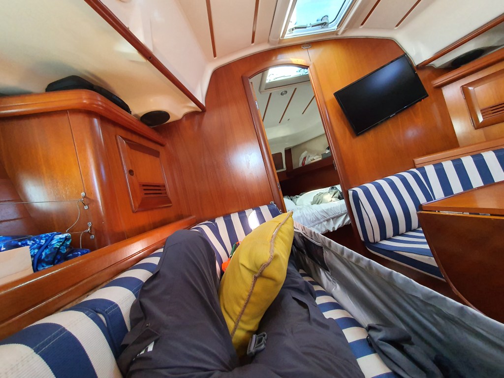
Jessy was seasick for a major part of the trip. She was meant to be Erica’s shift partner but I took over her duties when needed, between naps. To accommodate, we minimized course changes (sail plan changes) and focused on monitoring. I only ended up having to assist with adding our second reef when the wind was consistently reaching 22 knots.
The plan
- Departure: Moreton Bay Boat Club at noon on Sunday the 6th
- Arrival: Pelican Bay at 8am on Monday the 7th
- Arriving at Wide Bay Bar at 6 am. High tide at 7:03 am.
- Anticipated duration: 18h
- Length: 110 nautical miles (203 km, 126 miles)
- 1 day, 1 night passage. Running 3h shifts.
- Southerly wind required!
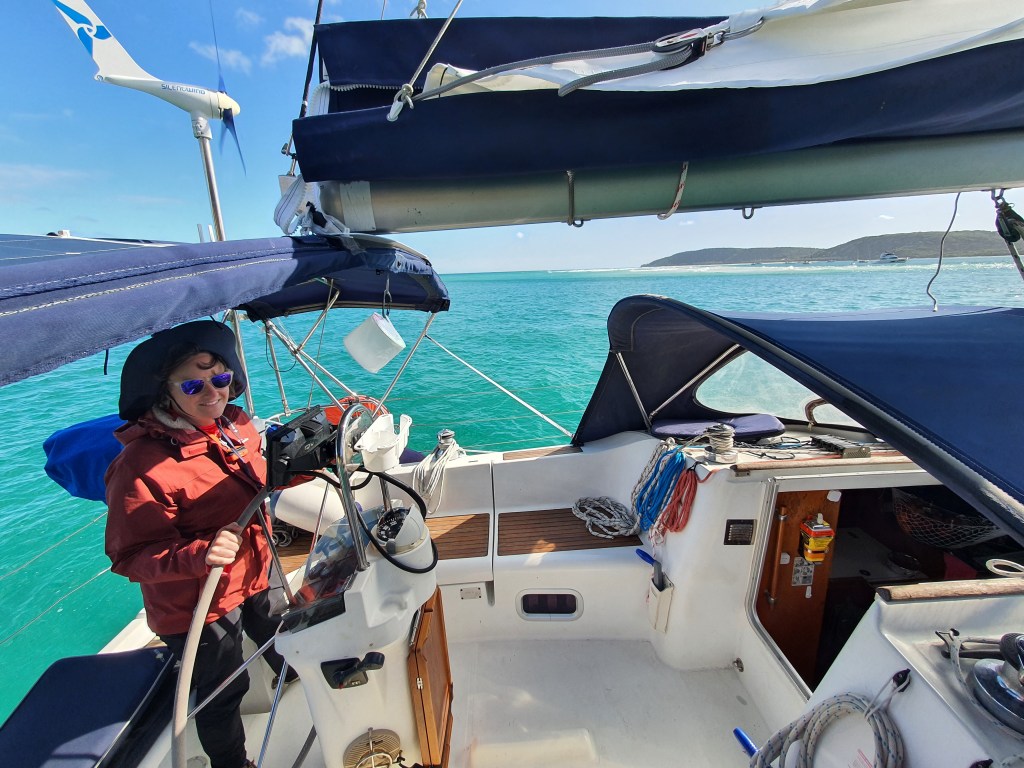
The passage
We weren’t leaving at high tide so we couldn’t plan on exiting Moreton Bay by Bribie. We initially opted to follow the big ship channel, however, due to the south-easterly wind we were quite slow crossing the bay and the North East Channel looked more practical and less crowded. There were a few tankers and a cruise ship leaving that night.
The easterly ocean swell came out right after passing the lee of Moreton island, and we were ready for dinner. Jessy opted out as she immediately started to feel nauseous. The rest of us had chicken curry and rice. Thanks Erica 😊!
The wind was south easterly and the swell was easterly. The wind was forecasted to be between 15 and 20 knots. We ended up putting an additional reef overnight as the boat was getting uncomfortable and fast. We went up to 9.5 knots.
The swell was what make the trip uncomfortable. We just had to endure it.
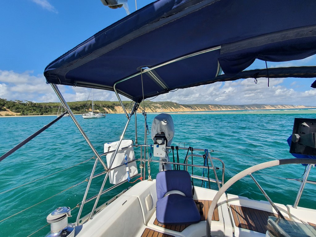
Once underway, it became clear that we would not arrive at the bar on time for the morning high tide. Since the afternoon high tide would be after sunset, we decided to go with plan B, anchoring ⚓️ at Double Island Point.
The nice anchorage spots are located in a lagoon, anything outside the lagoon isn’t protected from the swell.
Unfortunately the lagoon keeps on changing, closing and getting reformed. We were seeing boats inside it, catamarans, power boats, and monohulls! We knew there was a way in but we couldn’t see it at high tide. Thankfully one of the yachties already anchored there called us on channel 16, and came with his dinghy to help navigate us in.
We were now safe and anchored, ready for a long nap.


The nap was only disturbed by some of the yachties stopping by to let us know about a party/get together that afternoon at 4pm on the beach.
We had a good time, everyone came, and we even got a ride there and back. We were sharing our adventure plans, and absorbing advice and stories from everyone.
What a great introduction!
Safety first
We had been told to use Rob’s Passage planner when we were at the yard earlier this year. It has tips and recommendations when planning your trip along the eastern coast .
It’s recommended to log your trip with Volunteer Marine Rescue or the Coast Guard. This can be done on the phone or over radio, and it allows them to track your progress and send rescue if you are not responding.
Coast Guard Redcliffe kept us on their log until leaving Moreton Bay. Our case got transferred to Coast Guard Mooloolaba for the rest of the journey.
We started a new log with Coast Guard Tin Can Bay the following morning for the bar crossing.
The Wide Bay Bar
Since the bar is really dangerous, I had contacted the Coast Guard at Tin Can Bay the previous week to get recommendations and information. They were great and sent me an email with notice to mariners and recommended way points.
One of the notice to mariners explains the virtual AIS lateral marker that couldn’t make the bar crossing more safe!


Now we are off to Pellican Bay and Tin Can Bay!

Leave a comment